Summer 2025

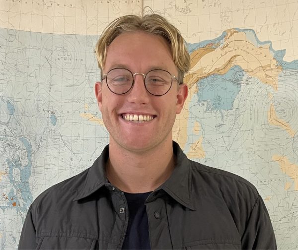
Brierton Sharp
MS candidate
Advisor: Dr. Kim Olsen
Are Empirical Models Adequate for Risk Assessment?
Friday, June 6, 2025
11 am – CSL 422
or via zoom
Spring 2025

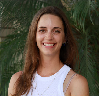
Ruei-Jiun Hung
PhD candidate
Advisor: Dr. Matthew Weingarten
Earthquake-induced pore pressure change in fault zones: observation and numerical modeling incorporating damage effects
Friday, May 9, 2025
11 am – CSL 422
Fall 2024

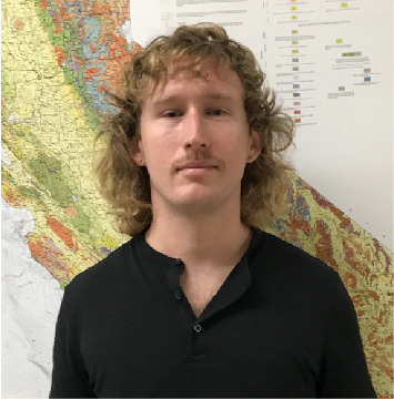
Emily Imperato
MS candidate
Advisor: Dr. Rafael Almeida and Dr. Matt Weingarten
Constraining Natural and Anthropogenic Controls on Shallowest Base of Freshwater and Underground Source of Drinking Water (USDW) in Central San Joaquin Valley, California
Wednesday, December 11, 2024
10:15 am – CSL 422
watch Emily’s talk

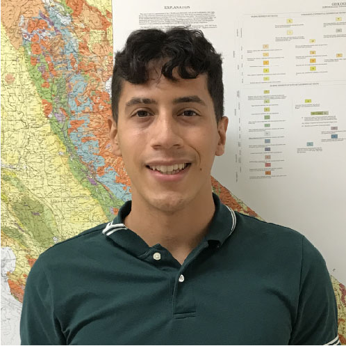
Garret Maloney
BS candidate
Advisor: Dr. Matt Weingarten
Constraining the age of deformation of the Union Wash Formation in the Inyo Mountains.
Wednesday, December 11, 2024
11:00 am – CSL 422
watch Garret’s talk

Sam Diaz
BS candidate
Advisor: Dr. Rafael Almeida
Characterizing the Structural Style of the El Imperial Formation in the San Rafael Basin, Argentina
Wednesday, December 11, 2024
11:30 am – CSL 422
watch Sam’s talk

Andrea Fabbrizzi
Ph.D. candidate
Advisor: Dr. Jillian Maloney
Seafloor and near-surface geophysical applications on offshore geohazard investigations
Friday, December 6, 2024 at 10 am – Gastil Room (GMCS 129)
watch Andrea’s talk
Abstract:
In marine geophysics, high-resolution data collection is critical for investigating seafloor geomorphology and near-surface stratigraphy, particularly for geohazard assessments. The integration of multibeam bathymetry, sub-bottom profiling, deep multichannel seismic data, and well data provides valuable insights into both recent and ancient geological processes. These include studies of shallow crust deformation, volcanic history, fault geometry, paleoseismicity, mass wasting, and tsunami modeling.
The volcanism at the East Pacific Rise (EPR) and fast-spreading mid-ocean ridges is expected to be focused underneath the main axis, within ~10 km from the spreading center. The study of the relative age of off-axis volcanism along the 8º20’N seamount chain at the EPR, can define mantle processes and melt upwelling histories distribution away from the homogenizing effect of the steady-state magma chamber. High-resolution near-bottom CHIRP and bathymetric data collected by the autonomous underwater vehicle Sentry are used to test the hypothesis that seamount volcanism progresses in an age-sequence along the seamount chain. Since sediment thickness generally correlates with the exposure time of the seafloor, the distribution of sediment thickness along the volcanic constructs can serve as a proxy for the relative timing of volcanic activity. However, since sediment thickness does not increase linearly with distance from the spreading center, the observed data suggest that seamounts did not erupt sequentially with increasing distance from the EPR. This implies a prolonged and episodic melt upwelling history rather than a continuous, age-progressive volcanic sequence. In the California Continental Borderland (CCB), the seafloor is composed of several basins and ridges aligned with strike-continuous fault segments. These tectonic structures influence the deformation and development of sedimentary basins along the offshore transform plate boundary between the Pacific and North American plates. High-resolution geophysical data collected during cruise SR2303 were used to investigate the relationship between tectonics and submarine mass wasting in the Cortes and Velero basins, located in the Outer California Borderland (OCB). More than 5 km³ of mass transport deposits (MTDs) have been mapped across Cortes Basin. These include slumps that accumulated adjacent to basin slopes and fault segments, along with distal turbidity currents that extend throughout the basin. In Velero Basin, a submarine fan system consisting of multiple lobes fed by an upper-slope catchment area was identified, as well as a massive slope collapse resulting from two distinct failure events, with an estimated cumulative volume of ~8 km³. The tectonic evolution of the CCB, coupled with the proximity of MTDs to active fault segments, suggests that mass wasting in the Cortes and Velero basins was likely triggered by slope steepening and uplift associated with fault reactivation. The alignment of several basins in the OCB, including Santa Cruz, San Nicholas, Tanner, Cortes, and Velero, along strike-continuous fault zones such as the Ferrelo fault zone, further suggests that earthquake-induced slope failures are a significant geohazard. These failures pose a considerable risk to the densely populated coastal regions of Southern California.

Yue Du
Ph.D. candidate
Advisor: Dr. Shuo Ma
Wedge inelasticity and Fully Coupled Models of Dynamic Rupture, Ocean Acoustic Waves, and Tsunami for Megathrust Earthquakes in the Japan Trench
Friday, December 6, 2024 at 1 pm – Gastil Room (GMCS 129)
watch Yue’s talk
Abstract
In this dissertation I investigate the physics of tsunami generation and seismic/acoustic radiations of two megathrust earthquakes in the Japan Trench. Elastic dislocation theory has been widely used for modeling shallow subduction earthquakes and tsunami generation, but several important observations in the 2011 MW 9.1 Tohoku-Oki earthquake contradict the theory, including diminishing shallow slip observed in the northern Japan Trench from differential bathymetry observations before and after the earthquake where the largest tsunami (up to 40 m) was generated and deficiency in high-frequency radiation associated with large tsunamigenesis. The 1896 Sanriku earthquake was a devastating tsunami earthquake with similar characteristics in the northern Japan Trench. Here I test an inelastic wedge deformation hypothesis in explaining these anomalous but important observations. Chapter 1 serves as an introduction to this dissertation. In Chapter 2, inelastic wedge deformation in the thick sediment of northern Japan Trench is shown as a mechanism to produce impulsive tsunami that can explain the extreme runup of the 1896 Sanriku tsunami. Chapters 3 and 4 present models of the 2011 Tohoku-Oki earthquake and 1896 Sanriku earthquake by fully coupling dynamic rupture, ocean acoustic waves, and tsunami with a finite-element code. Inelastic wedge deformation is shown in both earthquakes to cause depletion in high-frequency radiation but efficient tsunami generation with diminishing shallow slip, consistent with the observations. The inelastic deformation hypothesis may be applicable to accretionary and other sediment-rich margins. These results have important implications for tsunami hazard assessment and reduction around the world.
2023-2024 Theses Defenses
2022-2023 Theses Defenses
2021-2022 Theses Defenses
2020-2021 Theses Defenses
2019-2020 Theses Defenses
2018-2019 Theses Defenses
2017-2018 Theses Defenses
2016-2017 Theses Defenses
2015-2016 Theses Defenses
2014-2015 Theses Defenses
2013-2014 Theses Defenses
2012-2013 Theses Defenses
2011-2012 Theses Defenses
2010-2011 Theses Defenses
2009-2010 Theses Defenses
2008-2009 Theses Defenses
2007-2008 Theses Defenses
Alumni Roster

