Earthquake Sources: Examples from Indonesia and Southern California

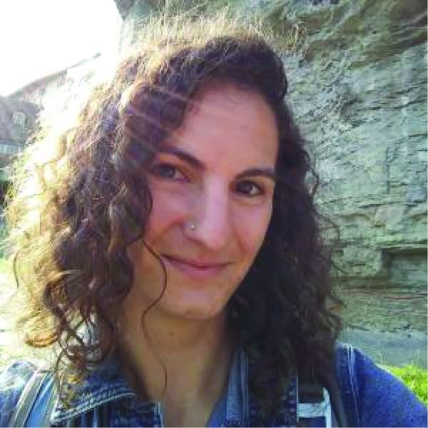
Dr. Valerie Sahakian
Assistant Professor, University of Oregon
Wednesday, October 21st, 2020
1 pm
watch Valerie’s talk here
Abstract
Examining earthquake sources – both earthquake ruptures themselves as well as their source faults – is a large part of how we further our understanding of tectonic and seismic processes, and improve constraints on seismic hazard for societal applications. I will show examples of two recent earthquake source studies: a “tsunami earthquake” from Indonesia, and imaging of shallow structures in Southern California.
The 2010 M7.8 Mentawai earthquake in Indonesia is an example of rare, end-member “tsunami earthquakes” – highly destructive events that produce tsunami runup much larger than expected for most megathrust events of the same magnitude. This is mostly attributable to the characteristics of their rupture, in the shallow-most, soft and compliant portion of a subduction zone, typically considered to be aseismic. From an applied perspective, these events have been challenging for tsunami early warning systems which are mostly magnitude-based, and as such do not accurately represent the events’ threat. Previous teleseismic observations found that tsunami earthquakes radiate seismic waves weakly, and should therefore not be strongly felt in the near-field. Until recently, no near-source geophysical recordings of tsunami earthquakes existed to confirm this, or examine these events “close-up”. I will present an analysis of near-field records of the 2010 Mentawai, Indonesia earthquake, giving insight into these rare events’ source processes.
In Southern California, a complex system of strike-slip faults accommodates the strain of the Pacific/North American plate boundary. The Imperial Fault (IF), host to two >M6 earthquakes in the past century, has been shown to take ~30 – 45mm/yr of the total plate boundary motion near the US-Mexico border; however, recent seismicity and geodetic studies have suggested that structures to its west may share some of this slip rate. Although crucial for constraining seismic hazard in the region, it is difficult to obtain a full picture of this system and fault interactions in the region due to anthropogenic obfuscation of the surface, and a lack of shallow subsurface geologic and imaging data. To fill this gap, I will show high-resolution subsurface seismic data within the All American Canal, imaging shallow deformation near the mapped trace of the IF, as well as structures to its west proposed to share some of its slip rate.

