 |
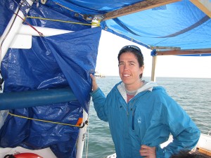
Tectonics and biohabitats along the North American-Pacific plate boundary: New insights from seismic stratigraphyJillian Maloney Postdoctoral Researcher Thurday, February 13th, 2014 |
||
|
|||
|
Stratigraphy is the tape recorder of the earth, from tectonics to climate, and as such, can be employed to study a broad range of research areas. I will present examples from my research that show how a stratigraphic approach has improved our understanding of tectonics along the N. American-Pacific plate boundary, as well as elucidated linkages between geologic processes and habitat distribution in offshore ecosystems. First, in the Lake Tahoe Basin, I used high-resolution sub-bottom CHIRP data combined with sediment cores and radiocarbon dating to reconstruct the paleoseismic history of the region. Both direct (fault offset) and indirect (slide deposits) evidence of earthquakes were observed and were used to interpret fault rupture patterns in the basin for the last ~12 k.y. Next, I will present geophysical data from offshore San Diego County that image faulting and deformation of stratigraphic packages. These data highlight changes in major strike slip faults as they approach step-overs, define tectonic controls on Point Loma peninsula and associated kelp forest, and illustrate that deformation in the borderlands is more consistent with a strike slip model than a regional blind thrust model. A stratigraphic approach can also be applied to understanding the geologic controls on habitat distribution. I will present data from two areas offshore southern California that show (1) localized fluid expulsion from a strike-slip fault compressional bend that hosts a deep-sea methane seep ecosystem, and (2) a new approach using geophysical data to understand kelp habitat evolution since the last glacial maximum. Understanding geologic controls on habitats over multiple time-scales is important for addressing ecosystem sustainability and response to climate change and sea-level rise. |
|||

