Stratigraphic Record of Late Cenozoic Basin Development Along the Pacific-North American Plate Boundary in the Gulf of California and Salton Trough

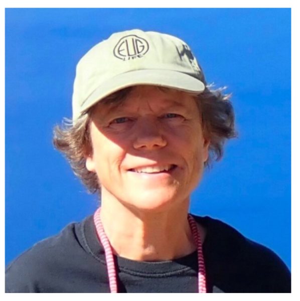
Dr. Rebecca Dorsey
Professor – University of Oregon
AAPG Distinguished Lecture
Wednesday, December 1, 2021
1 pm – CSL 422
Abstract
The Pacific-North America plate boundary south of Palm Springs, Calif., is defined by a series of fault-bounded transtensional basins that have evolved to sea floor spreading in response to dextral relative plate motion over the past 10 million years. Research in this setting seeks to understand complex interactions and feedbacks among two major sets of governing processes: (1) lithospheric deformation that drives basin subsidence, deformation, inversion and erosion; and (2) sediment routing and space-time variations in sediment flux that control depositional paleoenvironments, delta migration, basin filling, crustal recycling and efficiency of extension that leads to continental break-up. Field-based studies show that, starting ~ 7-9 Ma when Baja California was still part of mainland Mexico, relative plate motion became localized along a narrow belt of newly forming strike-slip and normal faults. Terrestrial pull-apart basins were quickly flooded by marine waters as a result of rapid extension and subsidence that outpaced sediment input from adjacent rift-flank uplifts. By 6.3–6.5 Ma, a narrow belt of linked basins was inundated by marine incursion along > 1,000 km of the plate boundary from Palm Springs in the north to the south end of the Gulf of California. In addition, diffuse strain in the eastern California shear zone produced slow subsidence in transtensional sag basins that formed a broad inland sea along the lower reaches of the modern Colorado River valley, shortly prior to integration of the Colorado River to the Gulf of California. Since ca. 5 Ma a large volume of crust has been eroded from the Colorado Plateau, funneled as sediment through the Colorado River routing system, and deposited in large transtensional basins along the evolving plate boundary in the Salton Trough and northern Gulf of California. Construction of dams in the mid-1900’s created extremely effective traps (reservoirs) that abruptly ended the long-term flux of sediment and water to the delta, creating severe environmental impacts and dependence on river water resources that currently are shrinking in the face of prolonged drought.
It is now understood that the presence or absence of thick sediment exerts a first-order control on the fate of large deltas, deformation style, crustal recycling and rate at which extension proceeds to continental break-up. Uncertainty persists, however, regarding the nature of the control and influence of sediments on heat flow, strain rate, normal faulting and other rift processes. Recent studies document a history of unsteady, punctuated sediment discharge from the Colorado River to plate-boundary basins during the first ~0.5 Myr of river evolution, highlighting large gaps in our understanding of sediment routing processes and factors that control mass transfer from an eroding source to receiving basinal sinks. Future progress on this problem will require new studies that integrate field data with numerical models to decipher dynamic feedbacks between surface processes and 3D crustal strain over geologic timescales.
About Dr. Dorsey
I am a professor of Earth Sciences at the University of Oregon.
My research is focused on field-based studies of late Cenozoic
sedimentary basins across a range of tectonic settings, with the
overarching goal to understand environmental, structural, and
tectonic controls on sedimentation and basin filling. Current
projects include origins and evolution of the lower Colorado
River (southwestern U.S.A.), basin development in the active
arc-continent collision of Taiwan, and geogenomics study of
Earth-life evolution in central Baja California, Mexico.

